West bound right around McDonalds / Wunderland. 25 mph.
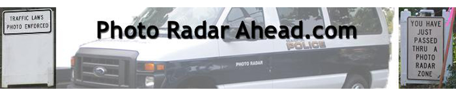
Category Archives: Photo Radar Locations
NE Killingsworth St. about 7500 Block
West bound right around 7500 Block. Speed drops from 45 mph to 35 mph just west of 82nd. 35 mph sign obscured by trees
SE Division St.
About 100th St. (or so). Has been seen facing West and east. 35 mph.
Between SE 122nd and 124th Ave. 35 mph
NE Halsey St.
After 103rd Ave, Before 106th Ave. 25 mph.
West bound about 139th. Speed drop from 45 to 35 mph.
Beaverton-Hillsdale Hwy
West Bound Right Before Dosch Rd. @ 27th Ave just before limit changes to 40 mph. Posted limit 30 mph.
W Burnside
West end of Burnside bridge in front of the Portland Rescue Mission. 25 mph.
West end of Burnside bridge going east bound, about a block from that last signal. So, no drag racing off the light!
92nd Avenue
There is a van periodically at the 2200 block on 92nd Avenue. It is close to the Grace Lutheran school. That means 20 mph on school days, be careful. 30 mph outside of school hours.
SW 5th Street
The van sits on the north side of 5th just before Lombard Ave. This area has a speed limit of 25 mph.